

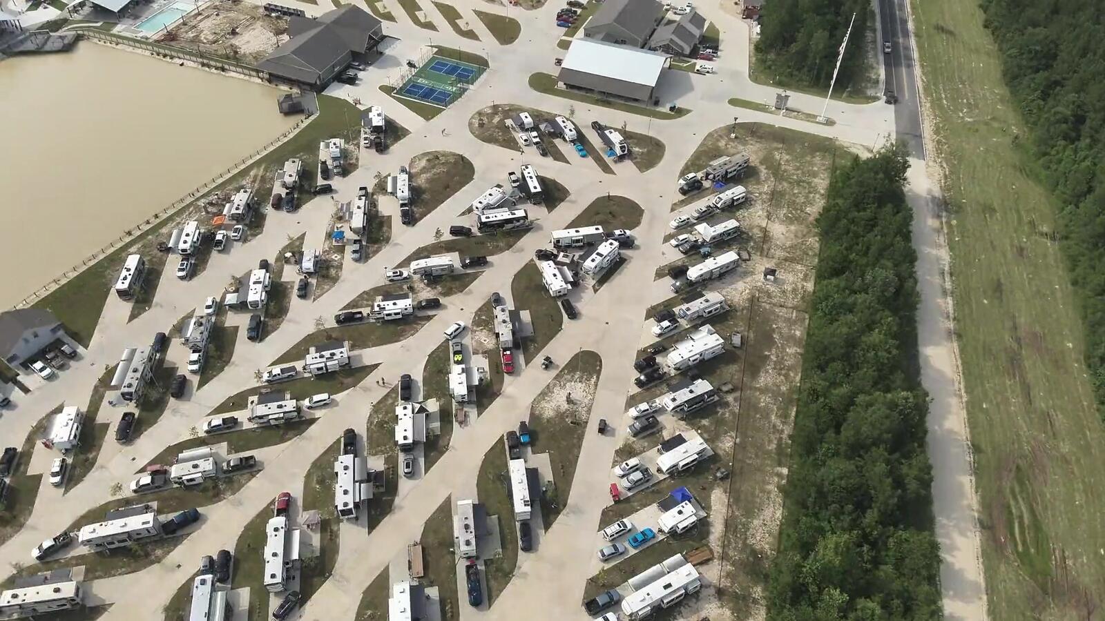
RTK-accurate site data
Mapping & Photogrammetry
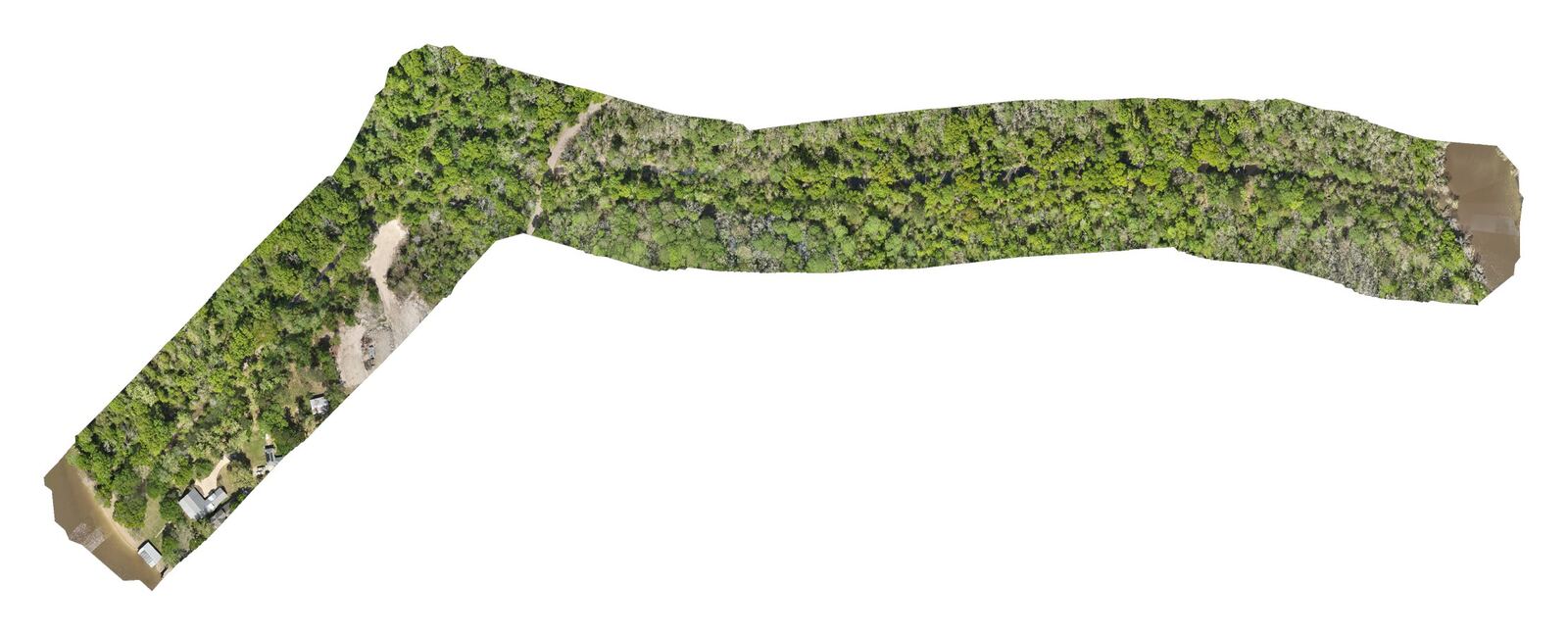
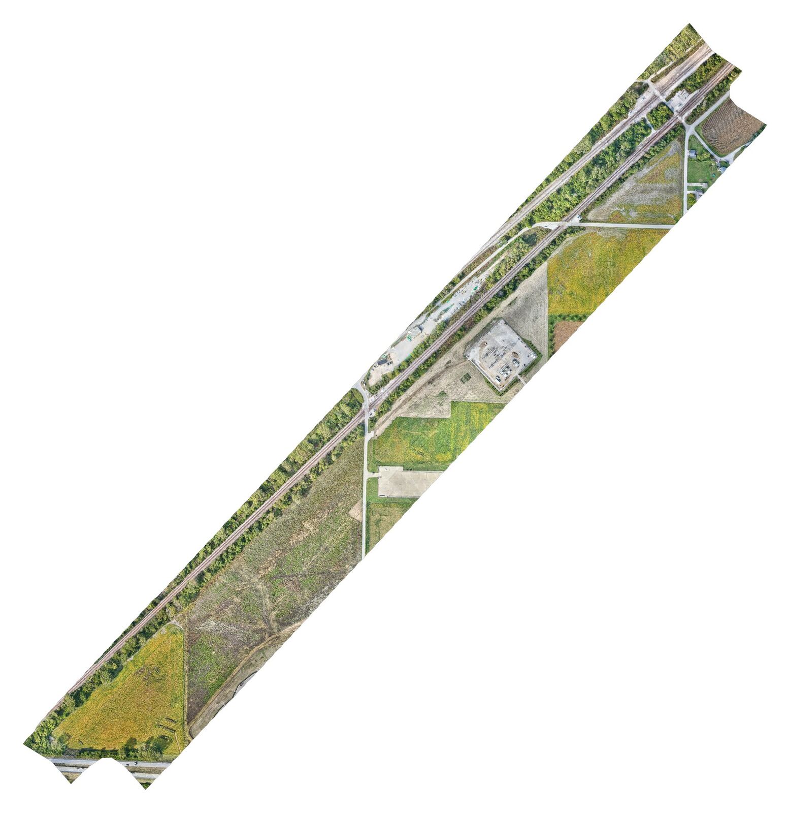
RTK orthomosaics, elevation models, contours and 3D models of your whole site.
FAA Part 107 · Insured · RTK positioning
What you get
It's a fast, affordable way to see a whole site at once, measure it and track how it changes over time.
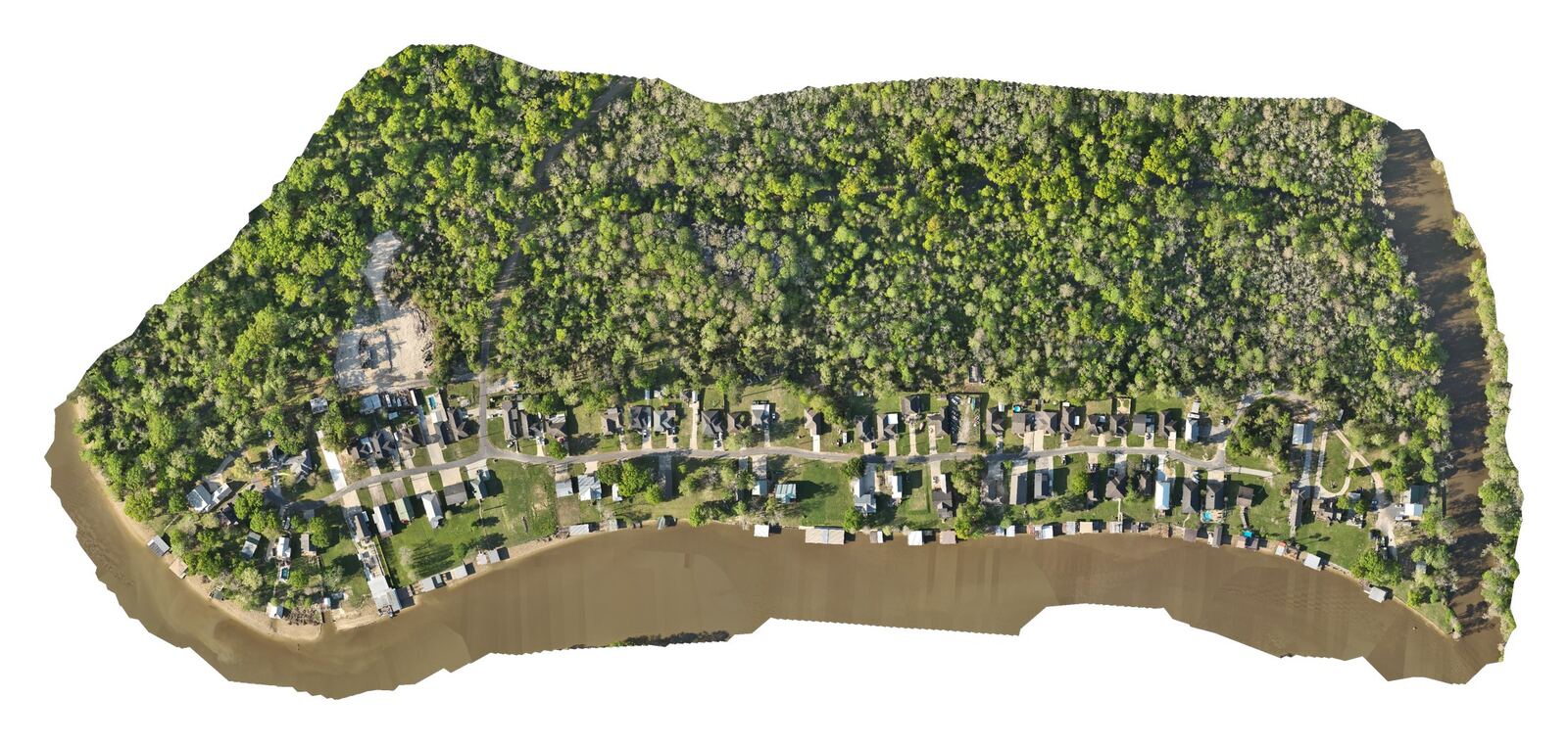
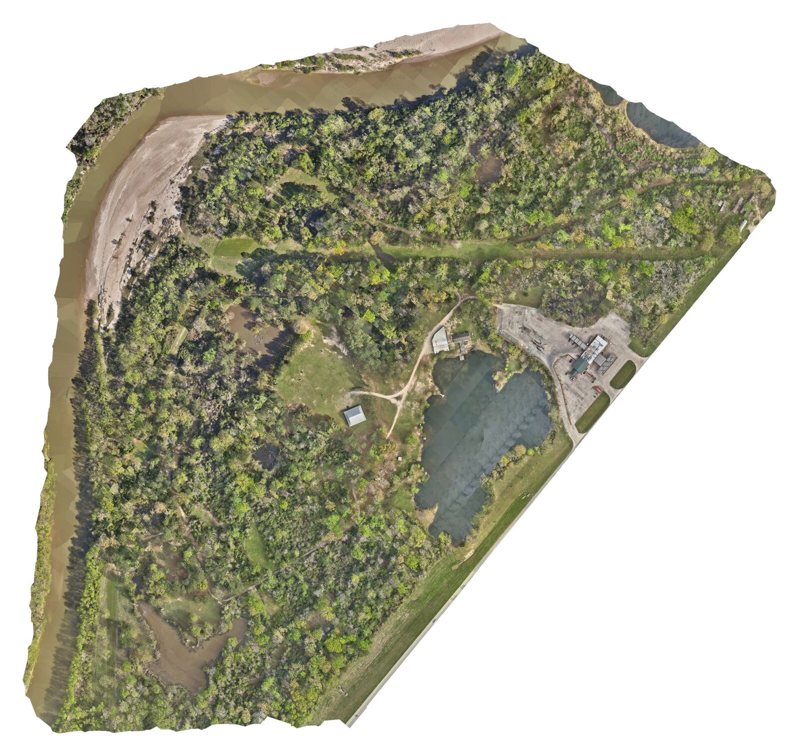
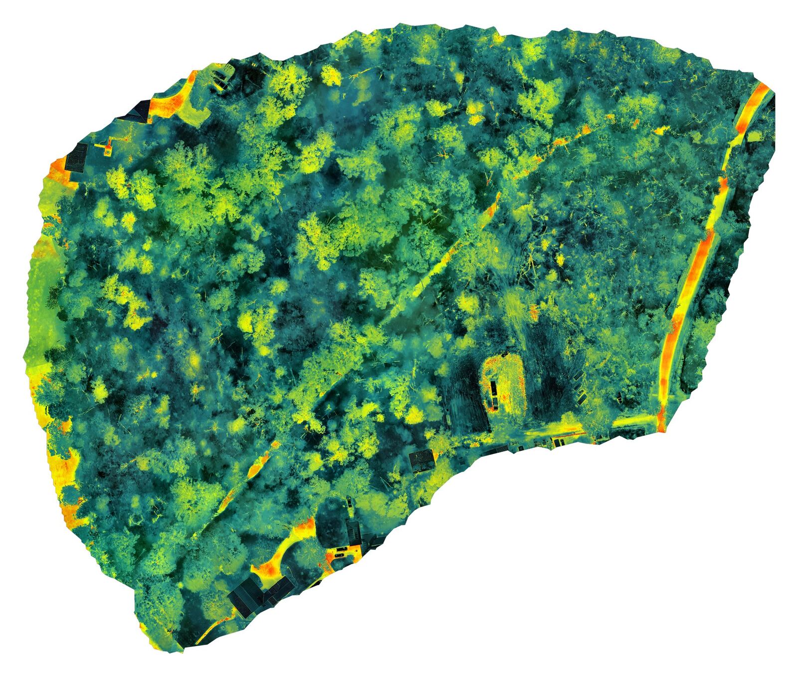
We fly planned grid missions with RTK positioning and turn them into accurate orthomosaic maps, elevation models, contour maps and 3D models.
- High-resolution orthomosaic maps (GeoTIFF and web viewable)
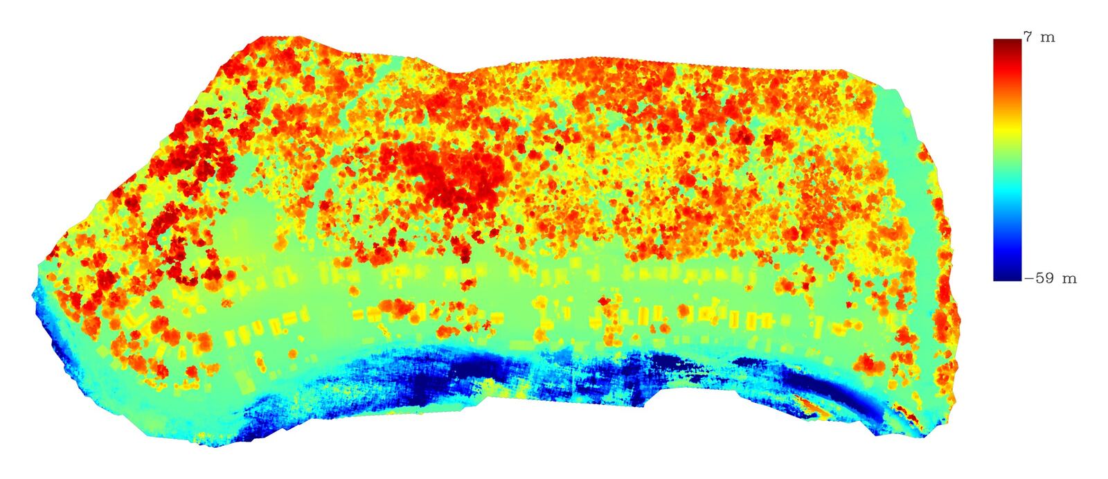
- Digital surface / elevation models and contour maps
- 3D models and point clouds
Ideal for Contractors, engineers, developers and landowners who need measurable site data.
Request a quote: Mapping & Photogrammetry →

Interactive sample
Explore a 3D model
Orbit, pan and zoom a photorealistic 3D model of a riverside neighborhood, built from an RTK drone capture with DJI Terra Gaussian splatting. Measure distances and height changes in feet right in your browser.
Old Mill Settlement · ~40 acres · 12.4 million splats · Best on desktop
Gallery
Recent work
Other services
Ready to plan a flight?
Tell us about the site, the timeline and what you need. You'll get a straight answer and a clear quote.