


For engineers, surveyors, contractors and developers
Aerial mapping and thermal data for south Louisiana job sites
Orthomosaic maps, 3D models, thermal imaging and monthly progress flights, flown and processed by Aaron Wascom out of Denham Springs. Topo, contour and LiDAR data is collected for your licensed surveyor or engineer, under the direction of your PLS/PE.
- FAA Part 107 Certified
- Insured
- Denham Springs, LA 70726
Deliverables
What you get back
Every job starts with what you need on your end: the file types, the coordinate system your team works in, and who's going to use it. Then I plan the flight around that.
Wascom Aerial is not a licensed land surveyor. Contour, elevation, point cloud and LiDAR data is collected under the direction of a licensed PLS/PE in responsible charge and is not a survey.
- Orthomosaic maps. A single, high-resolution aerial image of the whole site (GeoTIFF). Visual documentation, not a survey.
- 3D models. A model of the site or structure you can orbit and zoom for planning and walk-throughs.
- Thermal imaging with a summary report. Roofs, electrical and solar, with temperatures in °F (°C) and the weather and load conditions at the time of the flight.
- Monthly progress imagery. Same flight path every month, so owners and lenders can compare the site side by side.
- Topo, contour and LiDAR data collection. Quoted per project, for your PLS/PE. LiDAR available.
How a job works
From first call to files in hand
- Call or send the site. An address or a pin, the acreage, and what you need it for. If your surveyor or engineer is involved, I'll want to talk with them too.
- Quote. You get a written price before anything is scheduled. Topo, contour and LiDAR mapping work is quoted per project.
- Flight. I check airspace and weather, plan the grid, and fly. Photogrammetry works best on open or cleared ground, since tree cover hides the ground. LiDAR can see through gaps in trees.
- Processing and delivery. Files come back through a download link, with a viewer link you can share with the owner or the rest of the crew.
Proof from real projects
Recent work around south Louisiana
Orthomosaics and progress maps are visual documentation, not a survey.
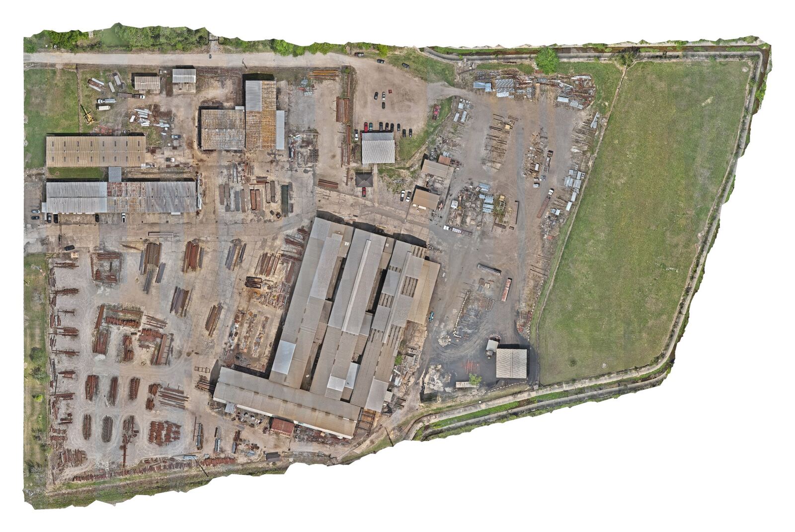
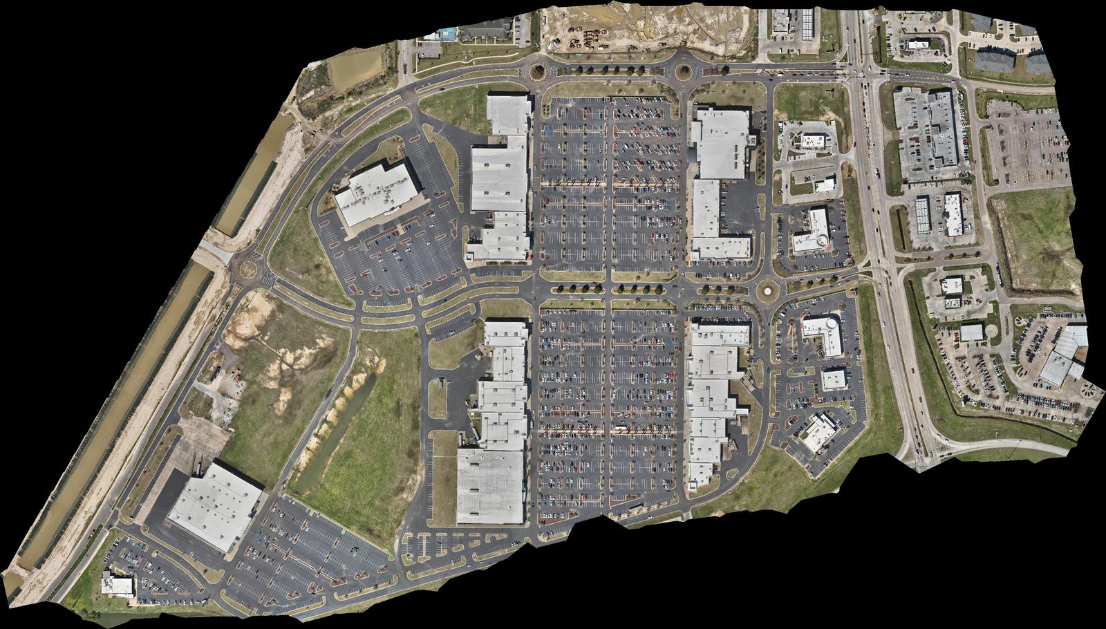
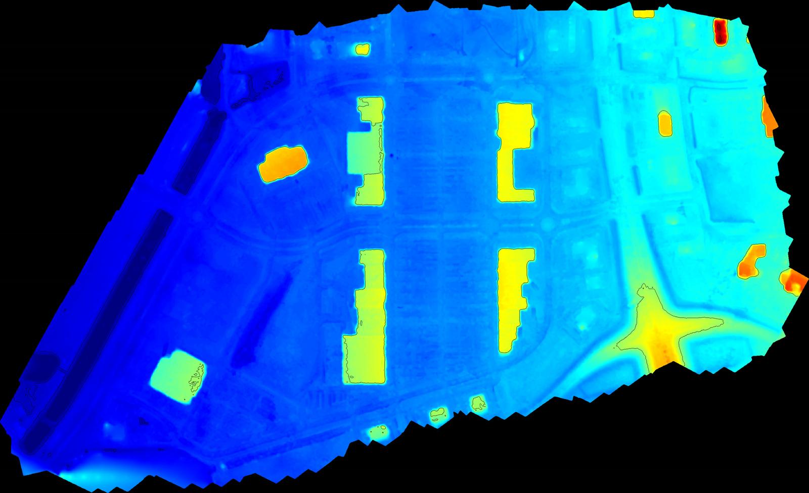
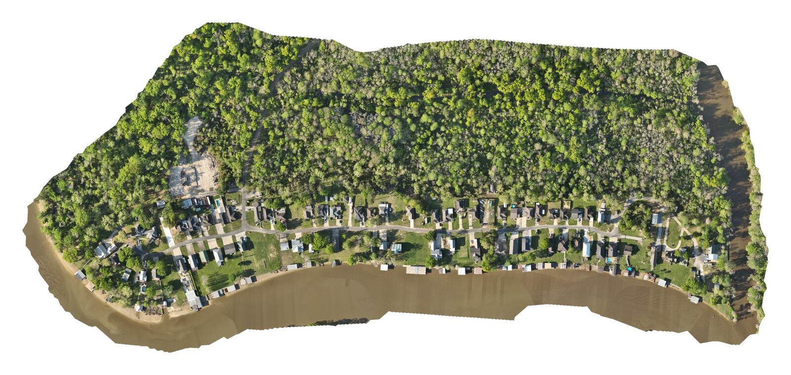
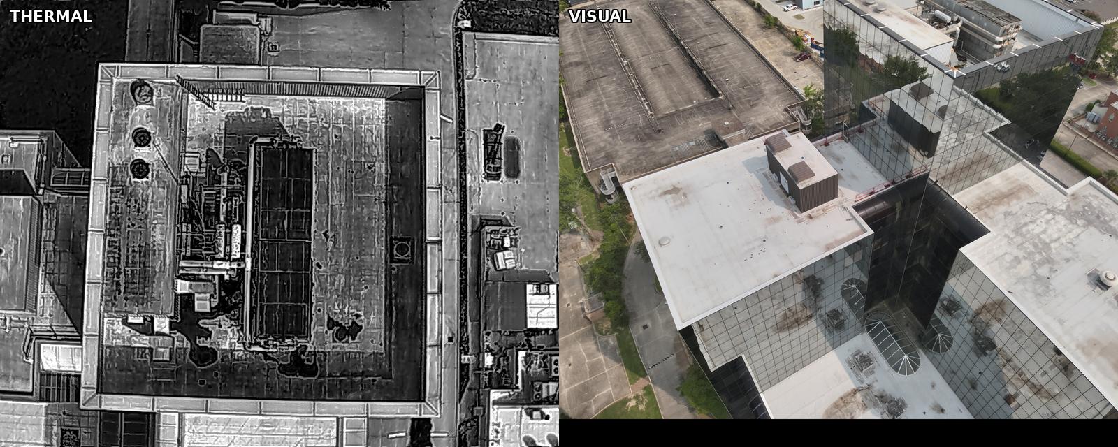
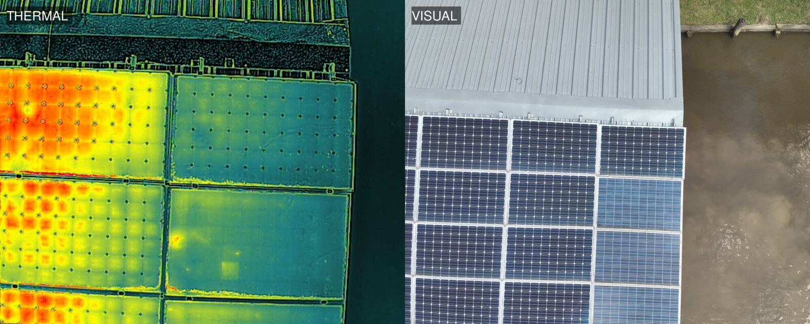

Site documentation
Inside the Superior Steel shop
This clip is from inside the Superior Steel fabrication shop, with the overhead cranes and cutting work going on. It pairs with the yard map above.
Pricing starting points
Where prices start
These match the estimate page. Your quote depends on acreage, travel and what you need delivered.
| Commercial minimum (orthomosaic and progress jobs) | $750 |
| Orthomosaic map | $750 up to 10 acres |
| Thermal inspection | From $450 |
| 3D model | From $600 |
| Monthly progress imagery | $1,200/mo per site, 6-month minimum |
| Topo, contour and LiDAR data collection | Quoted per project |
Thermal inspections and single-structure 3D models can be booked on their own. Travel is included within 30 miles of Denham Springs. Beyond that, travel is charged one way at the IRS standard mileage rate.
Send me the site
Tell me where it is, about how many acres, and what you need back. I'll get you a written quote. Aaron Wascom, (225) 302-0493.